

Información del contacto
-
MAILING : P.O. Box 8, Los Olivos, CA 93441
Aprendizaje experiencial en acción
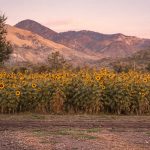
Invierno de 2023
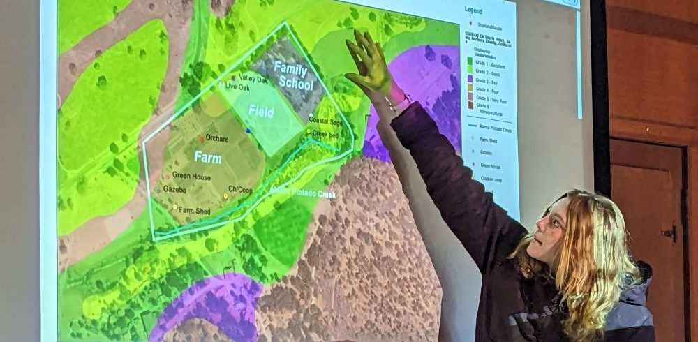
Una parte fundamental de nuestro curso práctico Midland101 consiste en conocer la propiedad de Midland y analizarla desde diferentes perspectivas. Recientemente, los estudiantes participaron en una unidad de cartografía digital, dirigida por Regina Butala, directora del Programa Ecuestre y directora de Gestión y Conservación de Pastizales. Además de la experiencia que aporta al programa de caballos y ranchos de Midland, Regina es analista geoespacial de conservación y cartógrafa digital, con una maestría de la USC. ciencia espacial departamento.
Midland 101 es un curso único en su diseño, ya que distintos profesores imparten y evalúan las diferentes unidades según sus áreas de especialización. Se trata de un curso verdaderamente interdisciplinario que se centra en la competencia fundamental de Midland: Conexión con el Lugar y el Entorno, pero que también integra otras áreas.
Esta unidad está diseñada para introducir a los estudiantes en la tecnología de los Sistemas de Información Geográfica (SIG). Los estudiantes aprenden a utilizarlos. Atlas SB, una plataforma de mapeo del condado de Santa Bárbara que proporciona información de datos públicos sobre conservación, recursos hídricos, uso de la tierra y otros conjuntos de datos disponibles para los usuarios para la creación de mapas. Tras una introducción a la tecnología SIG, a los estudiantes se les asignaron diferentes áreas de la propiedad para mapear y analizar.
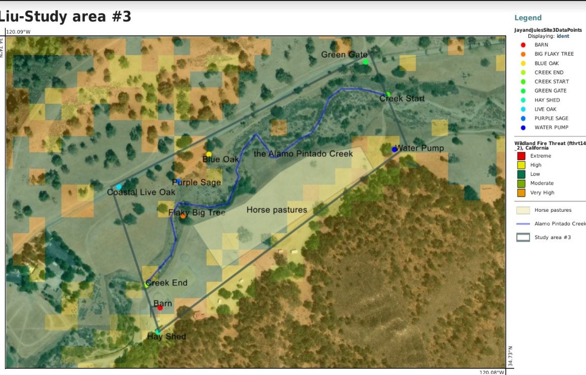
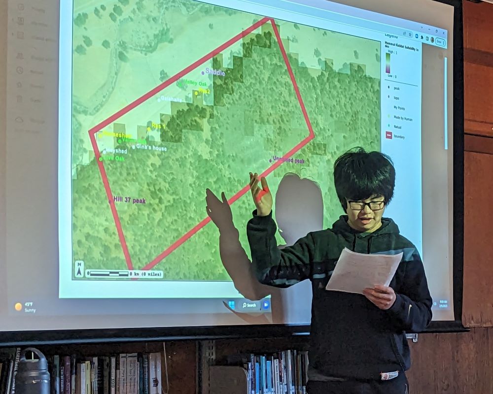
Cartografía digital por Jay '26
Lee sobre los objetivos del proyecto y observa cómo se implementaron en el mapa de Jay '26 que aparece arriba. En el mapa de Jay, se correlacionó un conjunto de datos de riesgo de incendios del Atlas SB con la imagen satelital de la vegetación para extraer conclusiones sobre las posibles amenazas de incendios en su área de estudio, basándose en el uso del suelo. Los estudiantes buscan en la base de datos la capa de datos que les interesa para su mapa y la correlacionan con el área de estudio de Midland que les ha sido asignada.
Objetivos del proyecto
A continuación se puede ver cómo esta evaluación se relaciona con las competencias básicas de Midland.
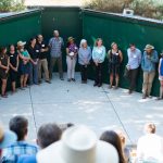
Tras finalizar sus mapas y análisis, los estudiantes realizaron presentaciones ante el grupo en la biblioteca. Midland101 es un curso obligatorio para todos los alumnos de primer año de secundaria (9.º grado) que les permite aprender sobre la ecología, la geología y la cultura del lugar donde viven y estudian.
Continúe explorando la experiencia de Midland