
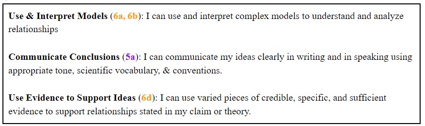
Contact Information
-
MAILING : P.O. Box 8, Los Olivos, CA 93441
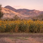
Experiential learning in action
Winter 2023
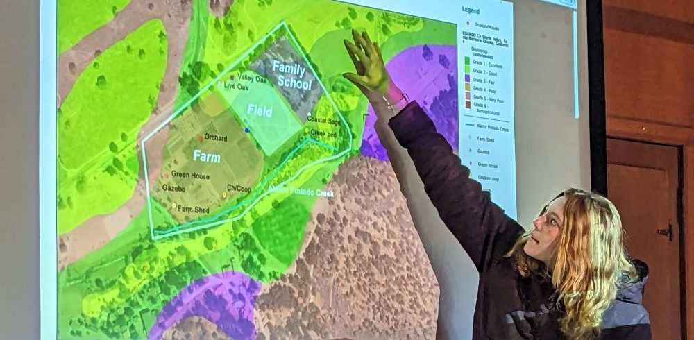
One integral part of our place-based Midland101 class is getting to know the Midland property and analyzing it from different perspectives. Students recently engaged in a digital mapping unit, led by Regina Butala, Director of Horse Program and Director of Rangeland Management and Conservation. In addition to the expertise she brings to Midland’s horse and ranch program, Regina is a Conservation Geospatial Analyst and digital cartographer, MSc Graduate of USC’s spatial science department.
Midland 101 is unique in its course design, in that different faculty members teach and assess different units based on their areas of expertise. It is a true interdisciplinary course focusing on the Midland core competency of Connection to Place & Environment but integrating others.
The unit is designed to introduce students to Geographic Information Systems (GIS) Technology. Students learn to use SB Atlas, a Santa Barbara County mapping platform that provides public data information on conservation, water resources, land use and other data sets available to users for map making. After being introduced to GIS technology, students were assigned different areas of the property to map and analyze.
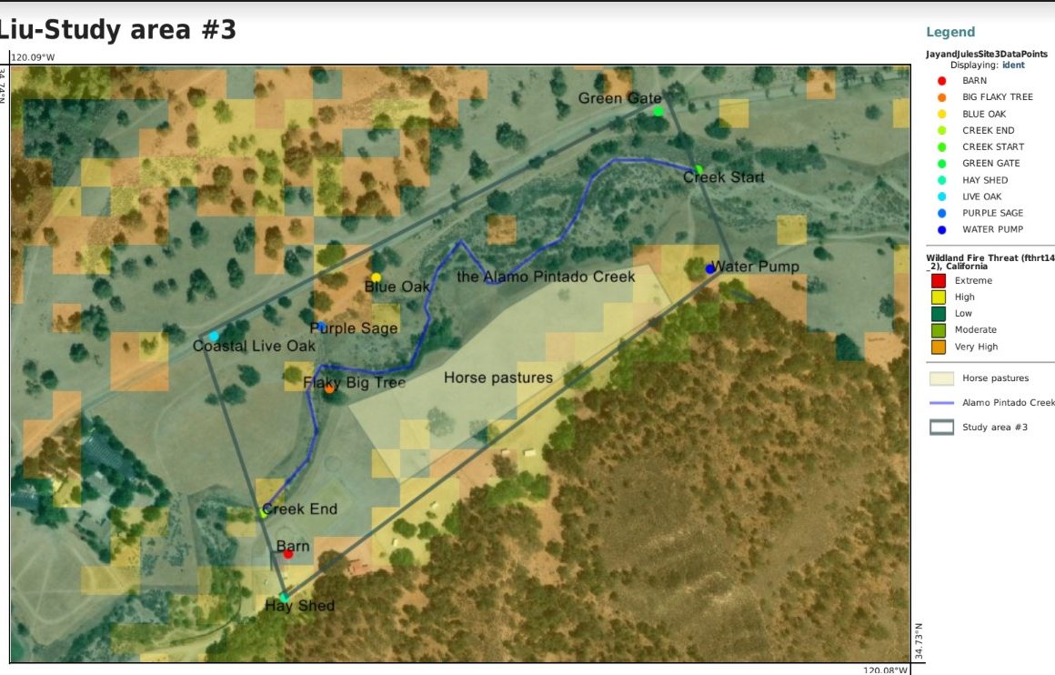
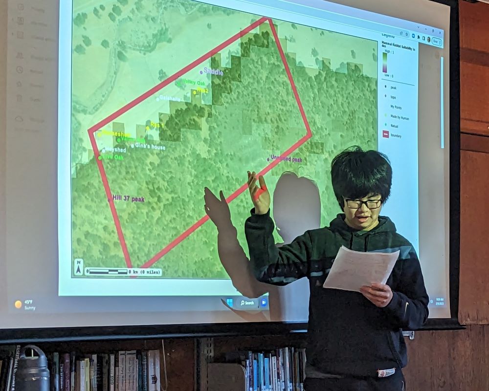
Digital Mapping by Jay ’26
Read about the project goals, and see how this was implemented in the map by Jay ’26 above. In Jay’s map, he correlated a fire risk dataset found on SB Atlas to the satellite image of vegetation to draw conclusions about possible fire threats in his study site based on land use. Students search the database to find a dataset layer for their map that they are interested in and correlate it to the Midland study site they are assigned.
Project Goals
Below you can see how this assessments relates back to the Midland core competences.
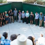
After finishing their mapping and analysis, students gave presentations to the group in the library. Midland101 is a course that all incoming 9th graders take to learn about the ecology, geology, and culture of the place we live and learn.
Continue exploring the Midland experience