
联系信息
-
邮寄:PO Box 8, Los Olivos, CA 93441
体验式学习的实际应用
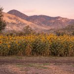
2023 年冬季
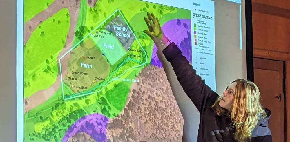
我们以地方为基础的 Midland101 课程的一个组成部分是了解 Midland 房产并从不同的角度对其进行分析。学生们最近参与了一个数字测绘单元,由马术项目主任兼牧场管理和保护主任 Regina Butala 领导。 除了为米德兰的马匹和牧场项目带来的专业知识外,Regina 还是一名保护地理空间分析师和数字制图师,毕业于南加州大学 空间科学 部门。
Midland 101 的课程设计是独一无二的,因为不同的教职员工根据他们的专业领域教授和评估不同的单元。这是一门真正的跨学科课程,侧重于米德兰与地方与环境的联系的核心能力,但同时整合了其他能力。
本单元旨在向学生介绍地理信息系统 (GIS) 技术。学生学习使用 SB图集,一个圣巴巴拉县地图平台,提供有关保护、水资源、土地利用和其他可用于地图制作的数据集的公共数据信息。 在接触 GIS 技术后,学生被分配到房产的不同区域进行测绘和分析。
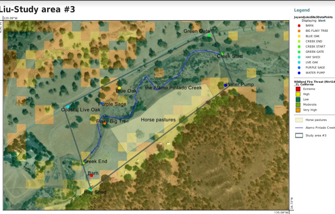
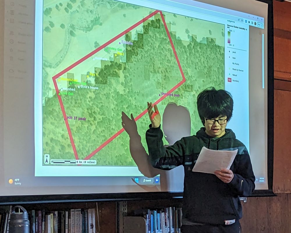
Jay '26 的数字地图
阅读有关项目目标的信息,并了解上面 Jay '26 在地图中是如何实现的。 在 Jay 的地图中,他将 SB Atlas 上的火灾风险数据集与植被的卫星图像相关联,以根据土地利用得出有关其研究地点可能存在的火灾威胁的结论。学生搜索数据库以查找他们感兴趣的地图的数据集图层,并将其与分配给他们的米德兰研究地点相关联。
项目目标
您可以在下面看到此评估与米德兰核心能力的关系。
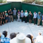
完成测绘和分析后,学生们在图书馆向小组进行了演示。Midland101 是所有即将入学的 9 年级学生参加的一门课程,旨在了解我们生活和学习的地方的生态、地质和文化。
From sea turtle research in Guatemala to hospital wards in Kenya, from botanical labs to Paris design studios, this year's recipients came back with clearer goals, deeper resilience, and a stronger sense of who they are and how they want to contribute.
继续探索米德兰体验